On a spheroid like the Earth, it is a well known fact that the shortest path between two points lies on a Great Circle. What is not so well known is that this same Great Circle also defines the longest distance between those two points. The longest distance is simply the arc going the other way.
So, my question was: "what is the longest great circle route one could fly on Earth and always be over a) land, and b) water?"
Thanks to Google Earth and its Ruler/Path tool, I found the following candidates:
Over Land: Beach near Dong Hoi, Vietnam to Dakar, Senegal - 12,900 km
Over Water: Tellicherry, India to Iliamna Bay, Alaska - 29,000 km
You will note that for the overland route, I did not count small lakes as being over water. The key to this route is threading the arms of the Red Sea and the southern Mediterranean beach near Rafa. If you slightly bend the "rules" and ignore the arms of the Red Sea, you can get a much longer route, Magadan, Russia to the Northern Namibian coastline (Hoarusib Mündung/Delta) of 14,620 km. This route is constrained by the Caspian and Black Seas.
For the overwater route, I did not count very small islands as being over land. Getting around Antarctica is the key to these routes, and threading various narrows. This is where you will have to use the 'path' tool rather than the 'line' because these distances are farther around than the antipodal point. An early candidate of mine was Pulau Dramai, Papua New Guinea to Seminole Shores, Florida - 24, 460 km.
Have at it folks!
Showing posts with label Geography. Show all posts
Showing posts with label Geography. Show all posts
Sunday, February 18, 2007

Tuesday, May 02, 2006
Urban thirst:
I went to a talk today by Kirk Johnson, a paleontologist with the Denver Museum of Nature and Science.
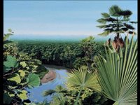
He was talking about their outreach program, which you have probably seen if you have travelled through Denver International lately. Just before the TSA clearance area, there is an exhibit covering the fossils that were dug up while DIA was being built - this is one of the paintings there by artist Jan Vriesen:
Kirk had an interesting point about Denver - most of the water for the city is brought there by tunnel from the West side of the continental divide, since Denver is in the rain shadow. However, most of the new developments are not fed by this system, and are drawing up groundwater from fossil aquifers like the Arapahoe.
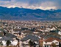
The development pictured here, Highlands Ranch, is the largest development in the United States. It draws water from the Arapahoe, which it is lowering by 20 feet a year. There are about 600 feet of water in the aquifer. As Kirk put it, 'about one mortgage's worth.' Great long-range planning, eh? This will be a ghost town within our lifetimes.
Kirk has been able to establish nature trails in many of these developments because they are fossil rich - even having large specimens like Triceratops, which make for nice educational walks. As you might imagine, the developers have constantly vetoed any mention of water.
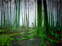
Colorado has been very wet in its past - much of Kirk and Jan's work together has been to produce a set of paintings that depict the Denver area through time. Here it is about 300 million years ago, during the (eerie) Pennsylvanian:
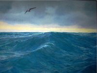
And here it is 85 million years ago, during the Cretaceous, when it was part of a vast inland sea:
You can see more of Jan's work at the Ancient Colorado exhibit at the Colorado Convention Center. These slides are up for a brief period as Mac Slides - if you have a .Mac subscription, you can view them as a screen saver if you subscribe to my public slide show.
He was talking about their outreach program, which you have probably seen if you have travelled through Denver International lately. Just before the TSA clearance area, there is an exhibit covering the fossils that were dug up while DIA was being built - this is one of the paintings there by artist Jan Vriesen:

Kirk had an interesting point about Denver - most of the water for the city is brought there by tunnel from the West side of the continental divide, since Denver is in the rain shadow. However, most of the new developments are not fed by this system, and are drawing up groundwater from fossil aquifers like the Arapahoe.

The development pictured here, Highlands Ranch, is the largest development in the United States. It draws water from the Arapahoe, which it is lowering by 20 feet a year. There are about 600 feet of water in the aquifer. As Kirk put it, 'about one mortgage's worth.' Great long-range planning, eh? This will be a ghost town within our lifetimes.
Kirk has been able to establish nature trails in many of these developments because they are fossil rich - even having large specimens like Triceratops, which make for nice educational walks. As you might imagine, the developers have constantly vetoed any mention of water.
Colorado has been very wet in its past - much of Kirk and Jan's work together has been to produce a set of paintings that depict the Denver area through time. Here it is about 300 million years ago, during the (eerie) Pennsylvanian:

And here it is 85 million years ago, during the Cretaceous, when it was part of a vast inland sea:
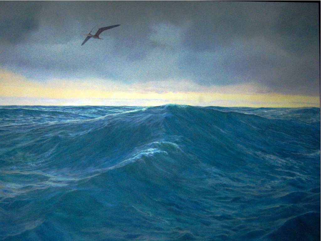
You can see more of Jan's work at the Ancient Colorado exhibit at the Colorado Convention Center. These slides are up for a brief period as Mac Slides - if you have a .Mac subscription, you can view them as a screen saver if you subscribe to my public slide show.
Subscribe to:
Posts (Atom)